Tennessee

Walking Along Norris Lake

treetops in Norris Dam

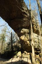
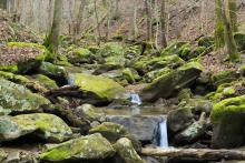
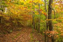
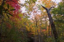
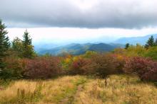
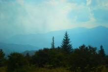
This is just a quick set of shots from a hike up along the lakeside in Norris Dam State Park. There are a series of trails on the coastline that weave among themselves and I just chose a path. The set of trails I chose stayed in the vicinity of the east campground and was just a couple of miles or so.
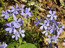
treetops
trail
treetops
treetops again

Up in Northern Tennessee

arch

It has been a very long time since I have been able to post to this blog. It's been a crazy year and some. Some good things and some challenging things have taken over my life. But, I've slowly started getting back out to the mountains of Tennessee and taking pictures. This week, I had taken a couple of days off from work and spent one of those days up in Big South Fork National River and Recreation Area.

top of arch
approaching the south arch
southern arch
southern arch
erosion patterns
small crevices in the arch
strange erosion patterns
northern arch
northern arch
rocky walls
rocky walls
rocky walls

Hiking in Frozen Head

This hike was taken some time ago, back the winter, but I've had less time to hike and/or work with the photos, so I'm only now posting them. During last winter, I went up to Frozen Head State Park, which is northwest of Knoxville, past Oak Ridge. One of the more interesting parts of the drive up to this park is that as you get closer, you pass an incarceration facility. Not that that's a bad thing, but it is a little odd to pass by fences and barbed wire just before you head out into the park to hike the trails.

bridge
creek
twisted roots
mushrooms
trail
creek
creek
trail

It's Not Huskey, It's Just Big-Boned

trees shooting up from between boulder-strewn hillside

Some time ago, I was driving through the Smokies looking for a trail that I had found on the map called the Huskey Gap Trail. This trail was listed in trail guides as being 4.2 miles round trip and moderate. According to the official Smokey Mountains trail map, the trailhead was just off Newfound Gap Round, a few miles south of the Sugarlands Visitor Center.

trail beginning
rocky trail
trees growing out of boulders
boulders
spring
twisted branches
trees

Spooky Hike

Completely unaware of the serendipitous nature of the hike I was about to take, I headed off on Oct. 31 to see what I could find up at Big Ridge State Park. I had been getting more annoyed with the crowded nature of the Smokies in the fall, and going in the opposite direction to find a quiet experience in the woods seemed appropriate.

lake in autumn
dam
dam
autumn foliage
golden autumn foliage
red and gold foliage
green and gold foliage
autumn colors
lake
lake
lake view

(Re) connecting

fall colors

During my transition from working at Clemson University to working at the University of Tennessee, I took a few trips to the Smokies to try to get connected to new opportunities for wandering. To start with, I went with a hike that I had done before, the Andrews Bald hike. This hike is part of the Forney Ridge Trail, near Clingman's Dome. It's a shortish hike, about 3 to 3.5 miles round trip.

boulder
Queen Anne's Lace
trail
misty mountain view
trail
fall leaves
fall leaves
fall leaves
wooden path
fall leaves

Up in the Smokies

mountain view

So, my wife and I, still on our hiking vacation, decided to take some time in the Great Smoky Mountains along the border between Tennessee and North Carolina. After looking through some hiking choices, we opted to go for the Andrews Bald Trail. This trail is about 3.5 miles round trip to a peak that tops out at around 6300 feet. It is a moderate trail, with an elevation gain of about 900 feet, but it's a nice day hike.

Great Smoky Mountains
flower
hiking trail
butterfly
mushroom
dead tree
mushroom
leaves
mountain view
mountain view
blooming flowers
elk
Subscribe to RSS - Tennessee