Great Smoky Mountains

It's Not Huskey, It's Just Big-Boned

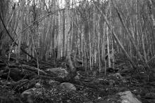
trees shooting up from between boulder-strewn hillside

Some time ago, I was driving through the Smokies looking for a trail that I had found on the map called the Huskey Gap Trail. This trail was listed in trail guides as being 4.2 miles round trip and moderate. According to the official Smokey Mountains trail map, the trailhead was just off Newfound Gap Round, a few miles south of the Sugarlands Visitor Center.

trail beginning
rocky trail
trees growing out of boulders
boulders
spring
twisted branches
trees

Driving in the Rain

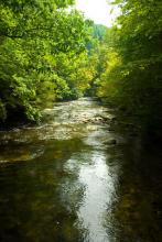
rapids

During my brief vacation, I tried to go on another hike, but I ended up just driving around the Smokies, because of the rain. It stopped long enough for me to take a little walk to a creek, but mostly, I just wandered around in the car. But I figured, since I got some pictures, I'd go ahead and share them.

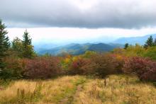
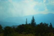
Because of the low cloud cover, the Smokies were really living up to their name. And the autumn color was continuing to spread across the mountains, adding a little bit of red or gold to the green and gray.

mountains
mountain
clouds on the mountains
rapids
rapids
trees in the Smokies
tunnel

(Re) connecting

fall colors

During my transition from working at Clemson University to working at the University of Tennessee, I took a few trips to the Smokies to try to get connected to new opportunities for wandering. To start with, I went with a hike that I had done before, the Andrews Bald hike. This hike is part of the Forney Ridge Trail, near Clingman's Dome. It's a shortish hike, about 3 to 3.5 miles round trip.

boulder
Queen Anne's Lace
trail
misty mountain view
trail
fall leaves
fall leaves
fall leaves
wooden path
fall leaves

Promises of What is to Come

waterfall

There are big changes happening in my life, and I'm preparing to open up possibilities for new places to explore. My wife and I are in the process of moving to Knoxville, Tennessee. Although that means that I won't be hiking around the South Carolina and north Georgia areas as I have for some years now, the Great Smoky Mountains are right nearby. As an example of the kinds of new places opening up for hiking and photography, this post is about a hike in the Smokies taken earlier this summer.

trail
trees in shadow
foliage
tree
small cascade
small cascade
snail
cut tree trunk
mushrooms
butterfly
rocks
waterfall
waterfall

Great Smokies Revisited

creek

I opted to return to the Great Smoky Mountains for this hike, since I had some time for a mid-week trip. It's a bit farther than I normally go, since it's a few hours to the park, but when my wife and I had done some hiking in the Smokies during our vacation, I developed an interest in exploring the park further. Thus, I decided to try the Deep Creek Loop Trail.

waterfall
bridge
rapids
stone cairn
rapids
waterfall
roots
treetops
red berries in ground cover
rapids
creek view

Up in the Smokies

mountain view

So, my wife and I, still on our hiking vacation, decided to take some time in the Great Smoky Mountains along the border between Tennessee and North Carolina. After looking through some hiking choices, we opted to go for the Andrews Bald Trail. This trail is about 3.5 miles round trip to a peak that tops out at around 6300 feet. It is a moderate trail, with an elevation gain of about 900 feet, but it's a nice day hike.

Great Smoky Mountains
flower
hiking trail
butterfly
mushroom
dead tree
mushroom
leaves
mountain view
mountain view
blooming flowers
elk
Subscribe to RSS - Great Smoky Mountains